UN
1 Farm Walk
£ 189,950
Description
We don't have a Description for this property.
- Bedrooms
- 3
- Bathrooms
- 0
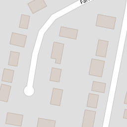
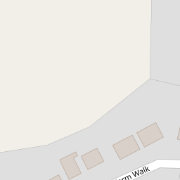

Leaflet © OpenStreetMap contributors
The heatmap indicates the level of crime in the area. The color of the heatmap indicates the crime severity and recency.
Metrics Year-on-Year
- Average area value
- 392,143.00 £Increased by 2.64 %
- Average area rental value
- 900.00 £/moDecreased by 30.66 %
- Est rental Yield
- 2.75 %Decreased by 32.60 %
- Crime Rate
- 27.00 %Unchanged by 0.00 %
from 382,045.00 £
from 1,298.00 £/mo
from 4.08 %
from 27.00 %
Nearby Schools
| Name | Type | Ofsted | Distance |
|---|---|---|---|
| Necton Va Primary School | Voluntary Aided School | Requires improvement | 1.03 KM |
| Sporle Church Of England Primary Academy | Academy Sponsor Led | Requires improvement | 4.70 KM |
| Great Dunham Primary School | Academy Converter | 5.31 KM | |
| Ashill Voluntary Controlled Primary School | Voluntary Controlled School | Good | 5.40 KM |
| Parker'S Church Of England Primary Academy | Academy Sponsor Led | 8.13 KM |
Images
Nearby Streets
| Name | Average Price | Average Sqft | Distance |
|---|---|---|---|
| Maple Drive | £ 250,000 | 0 | 0.00 KM |
| The Grove | £ 0 | 0 | 0.00 KM |
| The Avenue | £ 392,500 | 0 | 0.00 KM |
| Saint Andrews Way | £ 0 | 0 | 0.00 KM |
| Saint Andrews Lane | £ 262,500 | 0 | 0.00 KM |
Nearby Listings
| Address | Price | Type | Score | Distance |
|---|---|---|---|---|
| Farm Walk, Necton, Swaffham | £ 270,000 | BUY | 6 / 10 | 0.00 KM |
| Farm Walk, Necton, Swaffham | £ 300,000 | BUY | Unknown | 0.00 KM |
| Farm Walk, Necton, Swaffham | £ 220,000 | BUY | 6 / 10 | 0.00 KM |
| Necton, Swaffham, Norfolk, PE37 | £ 450,000 | BUY | 7 / 10 | 0.24 KM |
| Masons Drive, Necton, Swaffham | £ 260,000 | BUY | Unknown | 0.27 KM |
Nearby Properties
| Address | Price | Distance |
|---|---|---|
| 30 Farm Walk | £ 232,000 | 0.00 KM |
| 1 Farm Walk | £ 189,950 | 0.00 KM |
| 8 Farm Walk | £ 125,000 | 0.00 KM |
| 28 Farm Walk | £ 135,000 | 0.00 KM |
| 15 Farm Walk | £ 163,000 | 0.00 KM |